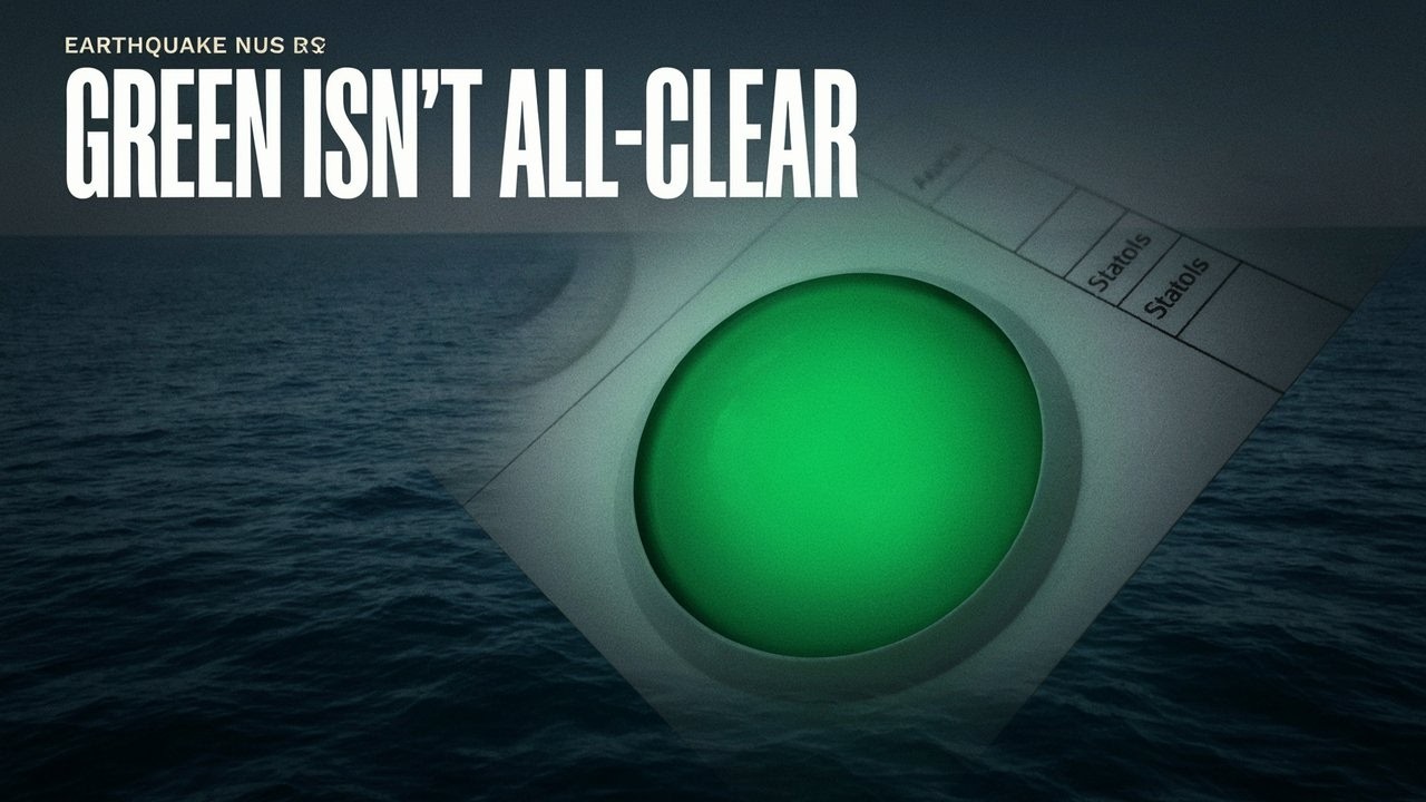
Disasters · Mid-Atlantic earthquakeAtlantic magnitude 6.9 quake carries tsunami flag, but warning status is unclearAired October 13, 2026 at 8:56 PM UTCWritten October 13, 2026 at 9:04 PM UTCRead the write-upThis storyFollow via RSSTranscript · LOADING0:07A magnitude 6.9 earthquake struck beneath the Atlantic.0:11Its earthquake entry carries a tsunami flag marked, Yes, alongside a green alert for0:15estimated earthquake losses for coastal communities and ships, those fields leave an0:20important safety question unanswered.0:22What do they actually tell us about a possible tsunami?0:25The quake's reported location sits just south of the equator, beneath the central0:29mid-Atlantic ridge, that puts it offshore.0:32The location alone doesn't tell coastal residents or ships what happened at the0:36surface.0:36The USGS lists a magnitude of 6.9 and a depth of 10 kilometers.0:42The entry labels the earthquake reviewed.0:44The details for this exact event still need confirmation, including whether the0:49agency has since revised them.0:51The entry dates the earthquake to October 13, 2026 at 1223 UTC.0:56Its later update timestamp records a change to the entry rather than the moment the1:00earthquake happened.1:01An earlier magnitude 6.7 earthquake appears in the same region that day.1:06It has a different origin time, location, and event identifier.1:09Its tsunami information belongs to that earlier earthquake and can't settle the1:13status of the later 6.9 event.1:15The earlier earthquake also received a low humanitarian impact assessment.1:19That assessment concerns the earlier event and describes expected impacts.1:24It supplies no observation of what the later earthquake did to people or coastlines.1:28The green Pager alert estimates losses from earthquake shaking.1:32The tsunami field is marked YES.1:34Those entries address different things.1:36A tsunami safety bulletin would carry the official assessment of any wave threat to1:40coastlines.1:41Pager estimates likely ranges of fatalities and economic losses using shaking1:46information and loss models.1:48Those estimates are generally available within 30 minutes and change as more1:51information comes in.1:53They describe expected losses before a completed impact tally.1:56The green category uses zero fatalities or economic losses below $1 million.2:01The word OR links two separate estimates.2:04Applying that category to an earthquake doesn't confirm a zero death toll or a2:07measured damage bill below that amount.2:09The earthquake's reported position is beneath the ocean, away from a populated land2:14location.2:14Even there, magnitude and depth alone leave coastal effects unresolved.2:18An official tsunami assessment and observations would address what happened beyond2:22the earthquake itself.2:23The entry gives a significance score of 732.2:26It's an event record score, with no casualty or tsunami measurement conveyed by that2:31number.2:31It also lists estimated intensity as zero.2:34That value's meaning here is unclear, so it can't tell us whether anyone felt2:38shaking or was harmed.2:39Pager leaves tsunami effects out of its loss estimates.2:42It also excludes landslides and liquefaction when shaking makes ground behave like a2:46liquid, so the green assessment cannot give Atlantic coastlines an all-clear for a2:51possible tsunami.2:51The yes flag alone also cannot tell people whether a warning was issued or a wave2:56was observed.2:57An official warning or no threat determination for this particular earthquake is3:01still unconfirmed.3:02Observed tsunami effects and impacts on people and property also remain unclear.The short