灾害 · 大西洋洋中脊地震
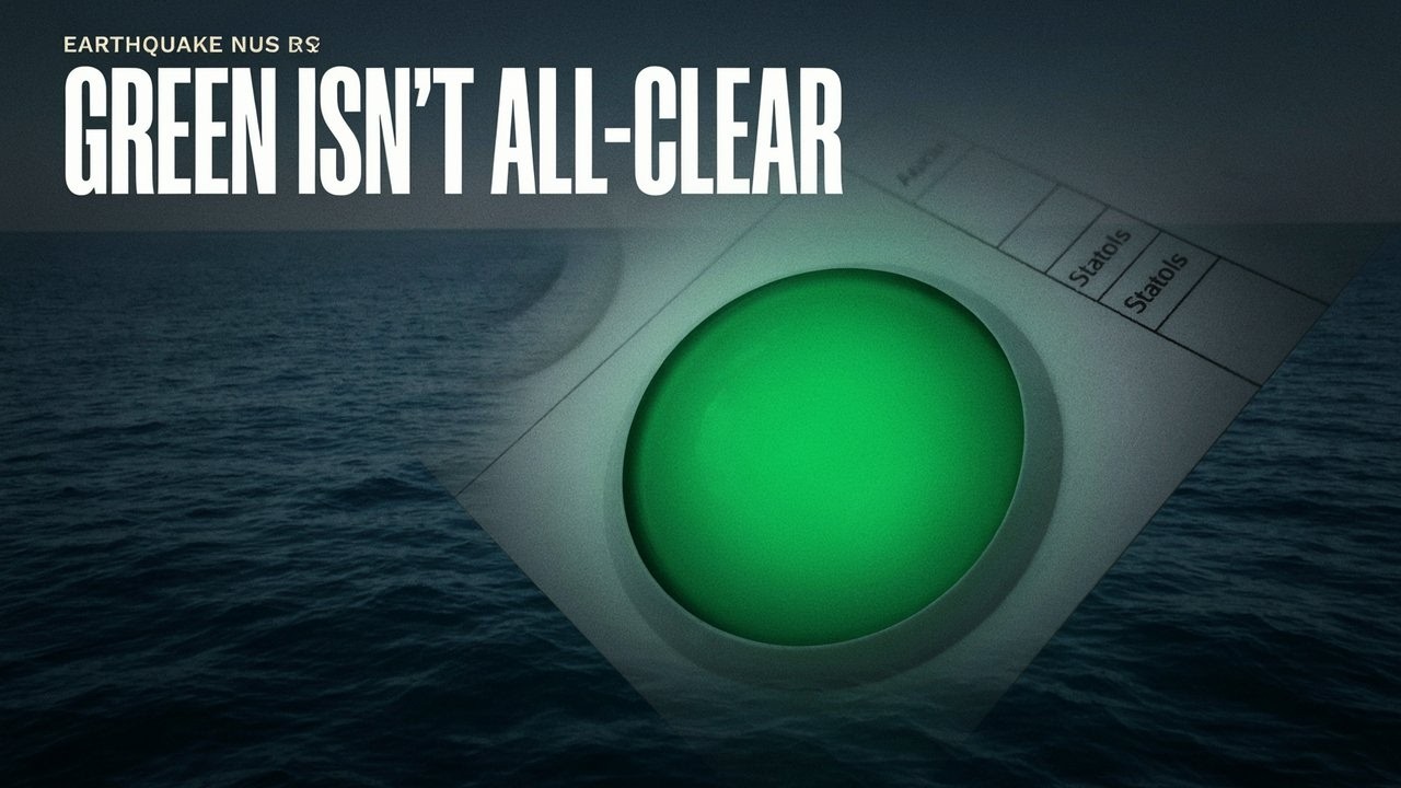
大西洋地震的绿色损失警报不代表海啸警报解除
据报告,一场发生在大西洋洋中脊、震级6.9的地震带有绿色损失警报和标注为“是”的海啸标记。两者都不能证明官方海啸警报已发布,也不能证明险情已经解除。
原语言视频
文字实录 · 正在加载
译自英文原文。
新闻追踪第 1 天
1 篇报道14 家媒体32 个来源

绿色地震损失警报是否意味着大西洋沿岸安全,即使同一条地震记录带有标注为“是”的海啸标记?不是。这些字段并非相互竞争的安全判断。一个估算地震损失;另一个本身并不能确立海啸警报或已观测到海浪。
据报告,2026年10月13日,中央大西洋洋中脊下方发生了一场6.9级地震。美国地质调查局(USGS)的事件记录列出绿色PAGER损失警报,海啸标记为“是”。关键问题仍未解决:针对这场特定地震,官方海啸评估或观测究竟确定了什么(如果有的话)?1
地震详情本身也存在核实方面的局限。HeyDay News无法独立核实与之匹配的USGS实时记录、后续修订、与该事件关联的海啸通报或实际影响。因此,以下参数是事件记录us6000u214中据报告列出的内容,并非对其最新状态的独立确认。
该记录显示,地震发生于UTC时间12:23:07,报告震源深度为10.0公里。其坐标为南纬0.4016度、西经19.4151度,位于赤道以南、中央大西洋海底。震级列为6.9,类型代码为mww,审核状态为“已审核”。记录更新时间为UTC时间12:46,与地震发生时间不同;这并不能证明发生了第二场地震,也无法说明哪些信息发生了变化。目前尚未确认震级、深度或位置有任何后续修订。1
海上位置很重要,但它不是影响报告。它表明这场地震不同于发生在有人居住陆地上的地震,但不能确定沿海社区或海上活动人员经历了什么。在所审阅的报道中,没有这场事件已确认的伤亡总数、损失评估、淹水报告或海啸观测。不能把信息缺失转化为“没有影响”的结论。
绿色警报实际评估的是什么
PAGER在重大地震发生后提供震动和损失估算,包括可能的死亡人数范围和经济损失范围。USGS文档称,这些估算通常会在30分钟内提供,并随着更多信息出现而更新。其设计用途是评估预期后果,而不是认证已完成的死亡人数统计或最终损失金额。28
绿色类别的文档采用的措辞是“0人死亡,或经济损失低于100万美元”。这一差别很重要:这是两个用“或”连接的独立损失估算,并非用“和”连接的两项已核实结果。将该类别用于这场地震,并不能证明其实际死亡人数为零,也不能证明已确认的损失低于100万美元。29 31
对沿海地区而言,更重要的是,PAGER的损失估算不包括滑坡、液化和海啸等次生影响。由于海啸损失不在该评估的范围内,绿色结果不能提供海啸安全确认。这是该产品衡量范围的限制,并不表示该产品与另一个预警系统相矛盾。28
对标注为“是”的海啸标记同样需要谨慎解读。它不能证明已发布警报、观察或提示,也不能证明海啸已经发生。尚未核实与该事件关联的官方警报,也未核实官方无威胁判定。通报发布时间尚未确定。负责任的表述是“警报状态未核实”,而不是“没有发布警报”。
更早发生的地震无法为此定论
其他报道记录了当天同一地区更早发生的一场6.7级地震。意大利国家地球物理与火山学研究所(INGV)报告称,该地震发生于UTC时间05:44:46,坐标为北纬0.1690度、西经19.8600度。Quake Pulse和HypaTerra将这场较早的地震与USGS编号us6000u1z5联系起来。其时间、地点和编号均不同于后来报告的6.9级地震。这场较早的地震不能用来确认后来的记录。4 3 6
其安全相关字段也不能转用于后一场地震。Quake Pulse将较早事件的海啸状态显示为“否”,而GDACS对其人道主义影响评估为低。两者都没有提供针对us6000u214的官方海啸判定或影响观测报告。地理位置相似,不意味着两条地震记录可以互换。3 2
后一条记录中的另外两个数字也无法填补信息缺口。其重要性数值732是事件记录评分,不是伤亡人数或海啸测量值。其最大估算烈度字段标注为MMI,数值为0,但该数值对这一具体事件的含义尚未得到确认。不能将其解读为没有人感受到震动或受到伤害的证据。1
未知
- 匹配的实时记录、后续修订、与该事件关联的官方海啸状态及实际影响均未得到核实。
后续
- 明确关联到us6000u214的评估,以及观测或已确认的影响报告,将有助于回答尚未解决的安全问题。
对于大西洋沿岸社区和海上活动人员而言,这一区别具有实际意义:地震记录、震动损失估算和海啸安全通报是不同类型的信息。现有报道包含前两项,但存在核实方面的局限。第三项尚未得到确认。无论是令人安心的颜色还是令人担忧的标记,都不应被用来回答它无法解决的问题。
本报道的来源和文档
USGS:6.9级——中央大西洋洋中脊。1
较早地震的报道:GDACS,《2026年10月13日05:44 UTC,中央大西洋洋中脊发生总体绿色级地震》;Quake Pulse,《6.7级——中央大西洋洋中脊》;INGV,《中央大西洋洋中脊地震,震级6.7,2026年10月13日》。2 3 4
其他较早地震的报道:《印度时报》,《中央大西洋洋中脊发生6.7级地震》;QuakeFYI,《6.7级——中央大西洋洋中脊》;Global Incident Tracker,《中央大西洋洋中脊发生浅源6.7级地震——The Watchers》;Honsound,《中央大西洋洋中脊发生6.7级地震》。8 9 10 11
支持性文档:APIs.io,《EarthquakeProperties》;USGS,《PAGER科学背景》;USGS,《修正麦加利烈度表》;USGS,《地震目录API文档》;APIs.io,《USGS地震属性结构》;USGS,《含地震筛选条件的地震目录API文档》。16 17 18 19 20 21
播出原貌 15 行
- A magnitude 6.9 earthquake struck beneath the Atlantic.
- Its earthquake entry carries a tsunami flag marked yes, alongside a green alert for estimated earthquake losses. For coastal communities and ships, those fields leave an important safety question unanswered.
- What do they actually tell us about a possible tsunami?
- The quake's reported location sits just south of the equator, beneath the central Mid-Atlantic Ridge. That puts it offshore. The location alone doesn't tell coastal residents or ships what happened at the surface.
- The USGS lists a magnitude of 6.9 and a depth of 10 kilometres. The entry labels the earthquake reviewed. The details for this exact event still need confirmation, including whether the agency has since revised them.
- The entry dates the earthquake to October 13, 2026, at 12:23 UTC. Its later update timestamp records a change to the entry, rather than the moment the earthquake happened.
- An earlier magnitude 6.7 earthquake appears in the same region that day. It has a different origin time, location and event identifier. Its tsunami information belongs to that earlier earthquake and can't settle the status of the later 6.9 event.
- The earlier earthquake also received a low humanitarian-impact assessment. That assessment concerns the earlier event, and describes expected impacts. It supplies no observation of what the later earthquake did to people or coastlines.
- The green PAGER alert estimates losses from earthquake shaking. The tsunami field is marked yes. Those entries address different things. A tsunami safety bulletin would carry the official assessment of any wave threat to coastlines.
- PAGER estimates likely ranges of fatalities and economic losses using shaking information and loss models. Those estimates are generally available within 30 minutes, and change as more information comes in. They describe expected losses before a completed impact tally.
- The green category uses zero fatalities or economic losses below one million dollars. The word “or” links two separate estimates. Applying that category to an earthquake doesn't confirm a zero death toll or a measured damage bill below that amount.
- The earthquake's reported position is beneath the ocean, away from a populated land location. Even there, magnitude and depth alone leave coastal effects unresolved. An official tsunami assessment and observations would address what happened beyond the earthquake itself.
- The entry gives a significance score of 732. It's an event-record score, with no casualty or tsunami measurement conveyed by that number. It also lists estimated intensity as zero. That value's meaning here is unclear, so it can't tell us whether anyone felt shaking or was harmed.
- PAGER leaves tsunami effects out of its loss estimates. It also excludes landslides and liquefaction, when shaking makes ground behave like a liquid. So the green assessment cannot give Atlantic coastlines an all-clear for a possible tsunami.
- The yes flag alone also cannot tell people whether a warning was issued or a wave was observed. An official warning or no-threat determination for this particular earthquake is still unconfirmed. Observed tsunami effects and impacts on people and property also remain unclear.
来源
32 个来源14 家媒体3 篇通稿
USGSusgs.gov17
- 首次报道于
- M 6.9 - central Mid-Atlantic Ridge
- GeoJSON Detail Format
- ANSS Comprehensive Earthquake Catalog (ComCat) Event Terms Documentation
- PAGER FAQ - Earthquake Hazards Program - USGS.gov
- API Documentation - Earthquake Catalog
- PAGER Scientific Background - Earthquake Hazards Program
- The Modified Mercalli Intensity Scale
- API Documentation - Earthquake Catalog
- API Documentation - Earthquake Catalog
- API Documentation - Earthquake Catalog
- Search Earthquake Catalog
- GeoJSON Summary Format
- API Documentation - Earthquake Catalog
- onePAGER Information
- Prompt Assessment of Global Earthquakes for Response
- LossPAGER Product Documentation
- earthquake.usgs.gov
Custommapposterhonsound.com1
GEOFONgfz.de1
Global Incident Trackerglobalincidenttracker.com1
hypaterra.com1
quake-pulse.com1
QuakeFYIquakefyi.com1
The Times of Indiaindiatimes.com1最先
usgs.github.io1未经核实的网站
来源地图
追溯本篇报道的依据。图谱展示其关联;下方链接可打开本文引用的来源。
来源图谱将在您阅读时加载。
译文更新于
修订记录
- r1首次发布。